Wildlife Corridor Project
Introduction
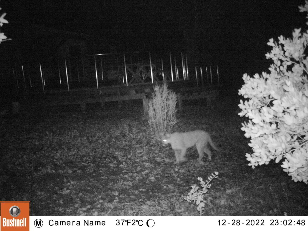
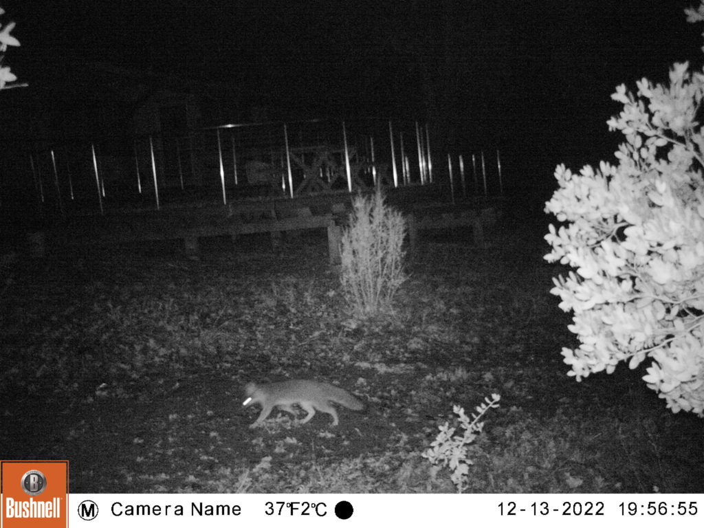
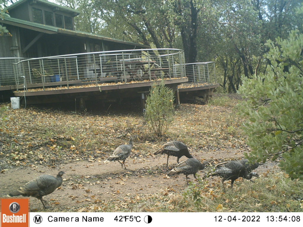
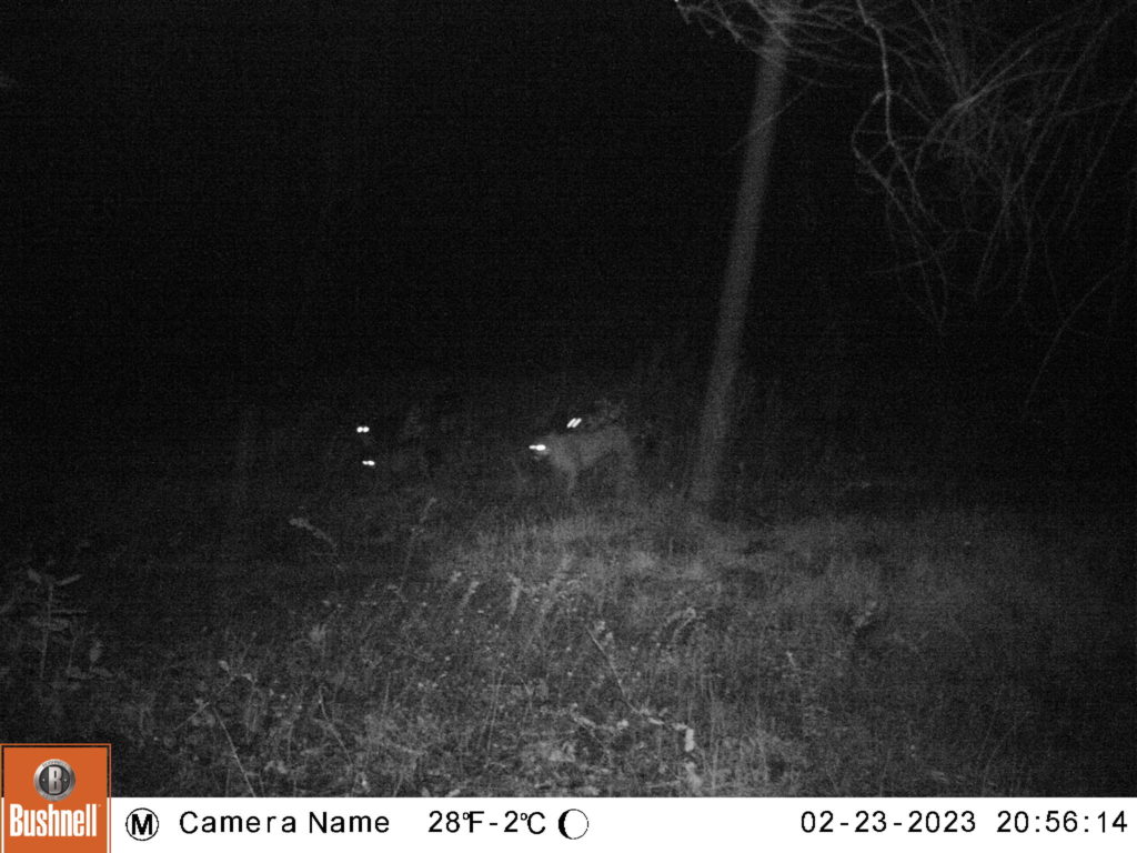
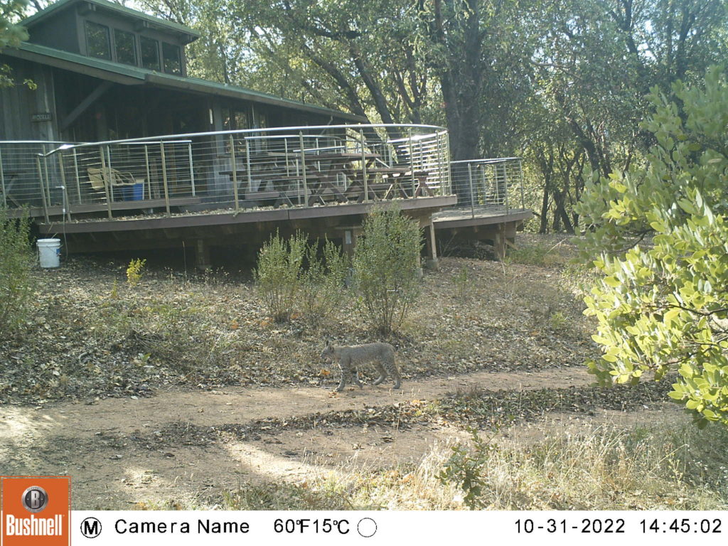
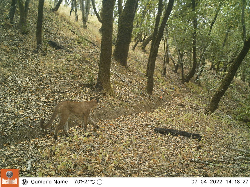
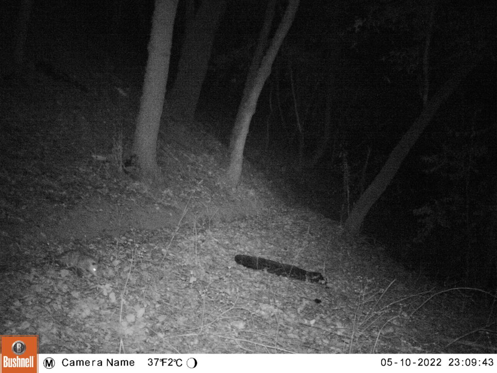
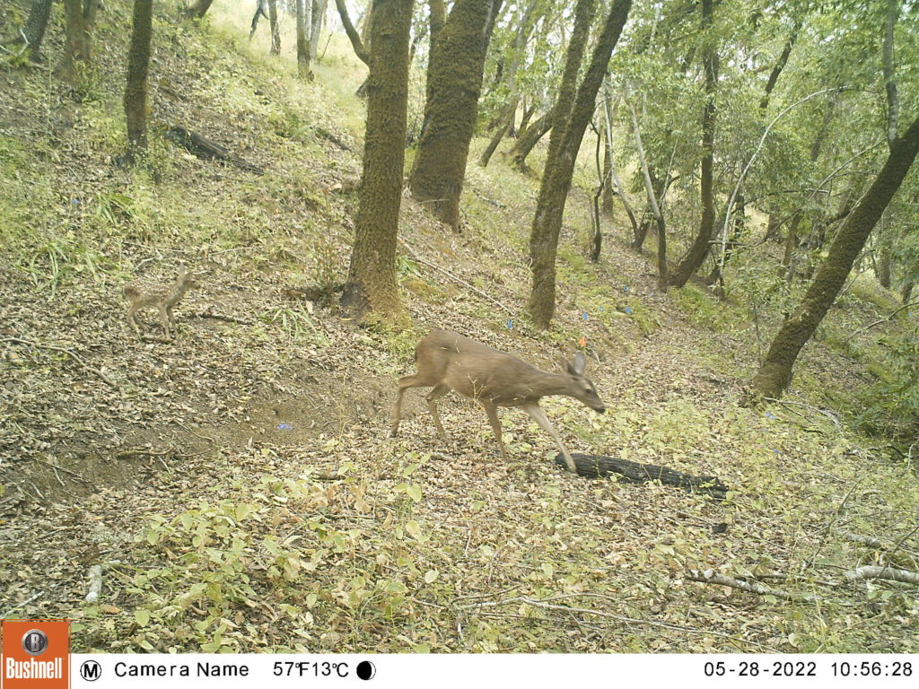
Wildlife cameras (also called “camera traps”) are an efficient and inexpensive method for surveying wildlife. Wildlife cameras allow wildlife enthusiasts, researchers, educators, land managers, and the public to have a window into the lives and behaviors of wildlife.
LandPaths’ first iteration of a wildlife camera program began at Bohemia Ecological Preserve in 2014. Led by current Ocean Song steward Erin Mulligan and environmental and educational consultant Meghan Walla-Murphy, the program was created as a way to engage the community in studying important wildlife corridors.
The second version of this project was launched by Senior Stewardship Field Specialist Benjamin Bravo in 2021, employing Wildfire Picture Index (WPI) methods (see below). Benjamin left LandPaths in early 2025 and the program is now run by volunteers.
Purpose
The main purpose of this project is to encourage a connection to the land and to provide LandPaths with a basic ecological knowledge of our preserves.
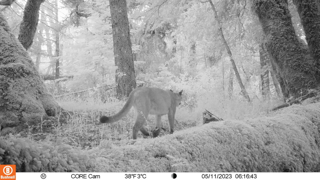
Using wildlife cameras, we can learn information about: mammalian biodiversity, habitat use, temporal patterns, and behavior.
This project is important because it is one of the only projects in West Sonoma County that seeks to study wildlife corridors and riparian zones. It’s made possible by the dedication of over 30 volunteers and the generous donation of supplies by Jack and Francine Levin
Methods
The wildlife cameras at Ocean Song/Myers Preserve and Bohemia Ecological Preserve are set-up using a modified Wildlife Picture Index grid. Wildlife cameras are set up on a 500-meter grid. You can find them along trails or deer trails and they use standardized camera settings. This system allows for even coverage of the preserves. Every six weeks, volunteers and staff retrieve data chips from the cameras.
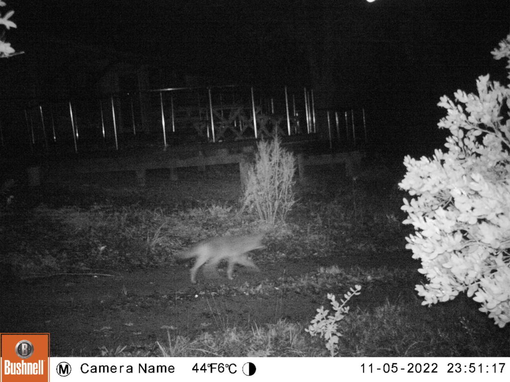
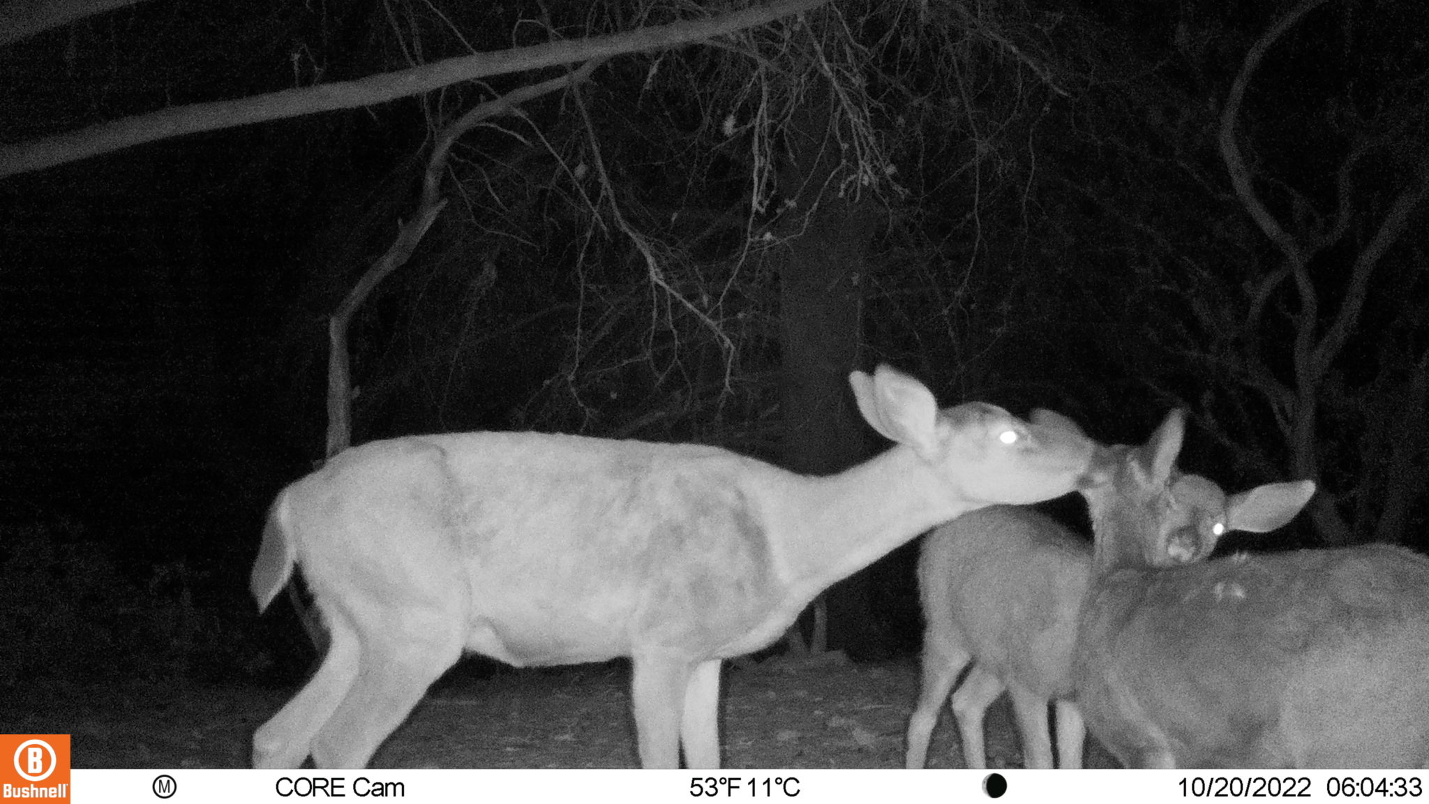
We also have a few “special interest” cameras set up at Bohemia and Riddell Preserve to examine riparian corridors, ponds, and areas of human use. These cameras do not use the standard WPI methods but provide some great photos of wildlife presence and behavior.
How You Can Participate!
- Sign Up for a Field Training: Participants will learn about wildlife cameras and the best practices for wildlife camera settings and set-up methods. This training occurs once a year in the summer. Sign up for our bimonthly eblast to learn about dates for the training as they are added to the Calendar.
- Participate in a Wildlife Classification Training: Participants will learn about wildlife cameras and the best practices for identifying wildlife and wildlife camera data management. These trainings occur roughly twice a year but can be increased to once a quarter depending on interest. Once again, sign up for our bimonthly eblast to learn about dates as they are scheduled!
Thank you to our current volunteers!
Bohemia Ecological Preserve
- Betsy D.
- Mathew G.
- Pat S.
- Rosa B.
- Ellen B.
- Forrest J.
- Eileen J.
- John F.
- Jose F.
- Al P.
- Brian G.
- Theresa B.
- Janusz K.
- Judy F.
- Jeff F.
- Greg B.
Ocean Song /Myers Preserve
- Darlene P.
- Chris P.
- Forrest J.
- Eileen J.
- Sally Q.
- Dane R.
- Carol C.
- Dan S.
- Pat S.
- Betsy D.
- Mathew G.
- Matt R.
Riddell Preserve
- Jeff H.
- Vida H.
Data Volunteers
- Ariane B.
- Ellen B.
- Rosa B.
- Betsy D.
- Charlotte M.
- Mary F.
- Carol C.
- Dane R.
- Sally Q.
- Matt R.
Data
Please check out our interactive data dashboard. LandPaths’ volunteers and staff generated all of the data using wildlife photo classifications.
At present, this data is based on photos gathered from Bohemia Ecological Preserve (July 2022 – July 2024) and Oceansong-Myers Preserve (July 2023 – July 2024). “Events” refer to a single visit from an individual wildlife. Click on the various tabs to see the graphs in higher detail! The Events by Camera graph shows the differences in animal visits to our five cameras. The Events Over Months graph shows changes in animal visits (and relative abundance) over time. The Events Over Daytime graph shows the times of the day when animals are most active. All of these graphs are interactive.
Play with this data! What patterns do you notice?
Bohemia Ecological Preserve
Oceansong-Myers
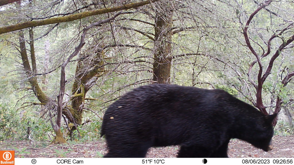
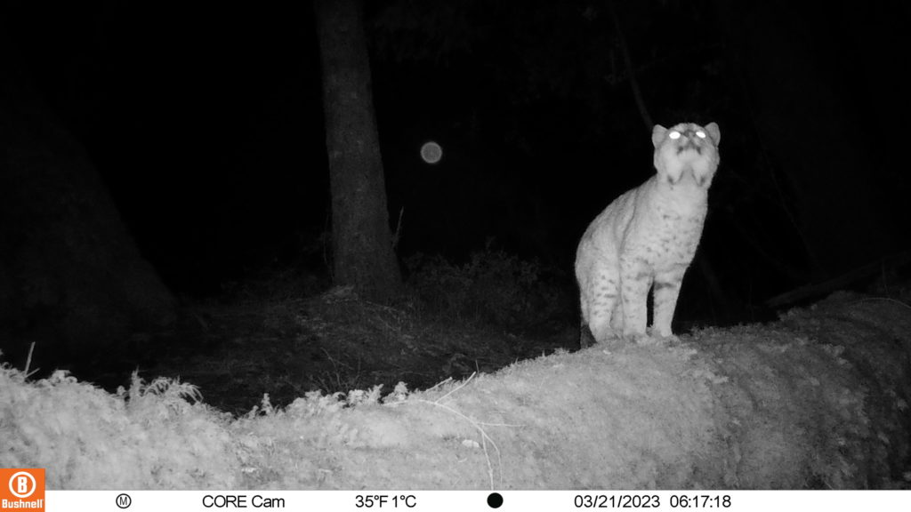
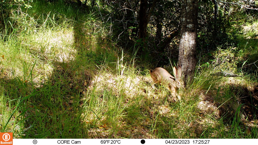
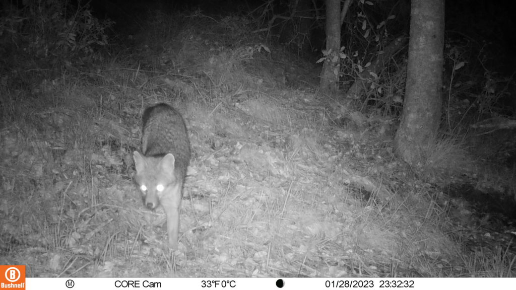
Wildlife Photos of Bohemia Ecological Preserve
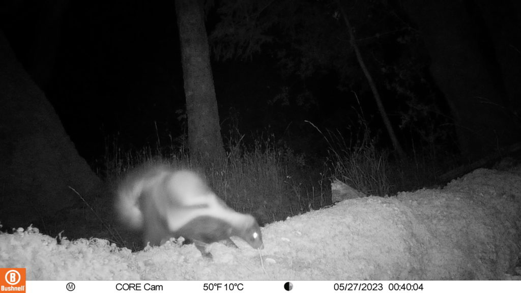
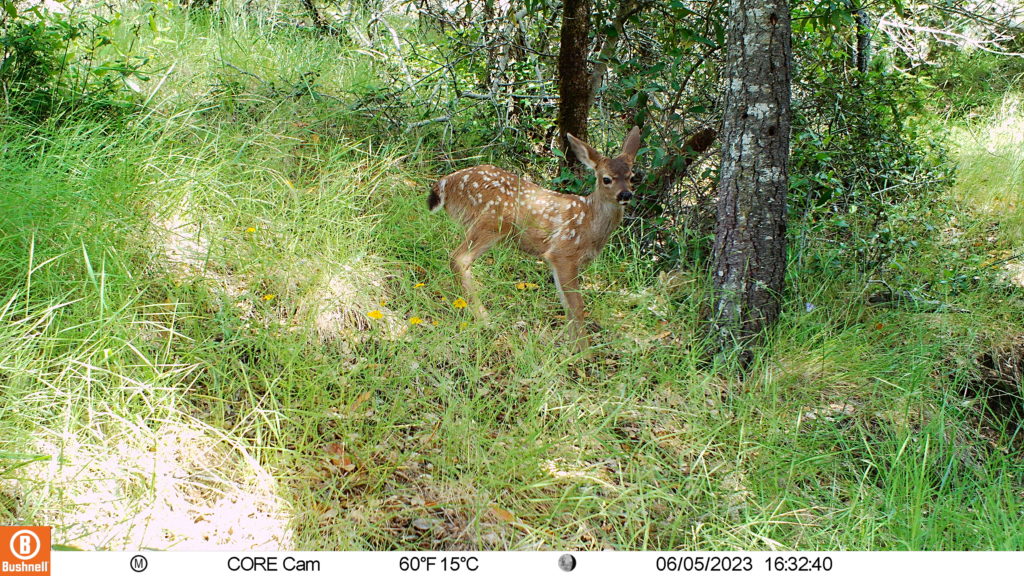
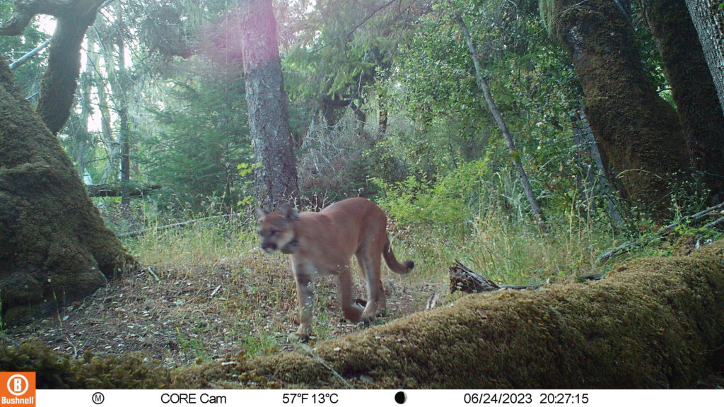
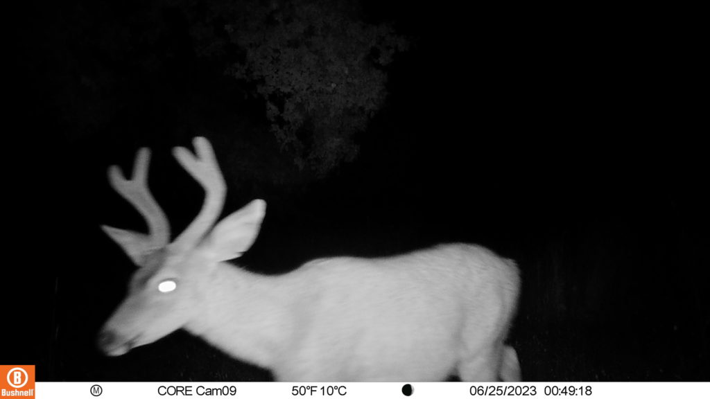
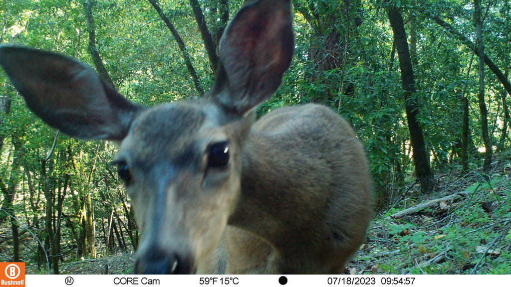
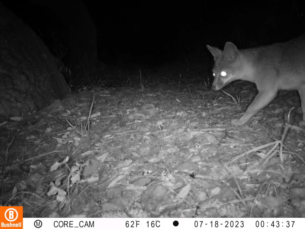
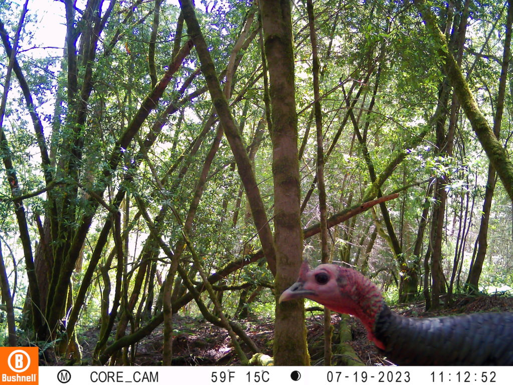
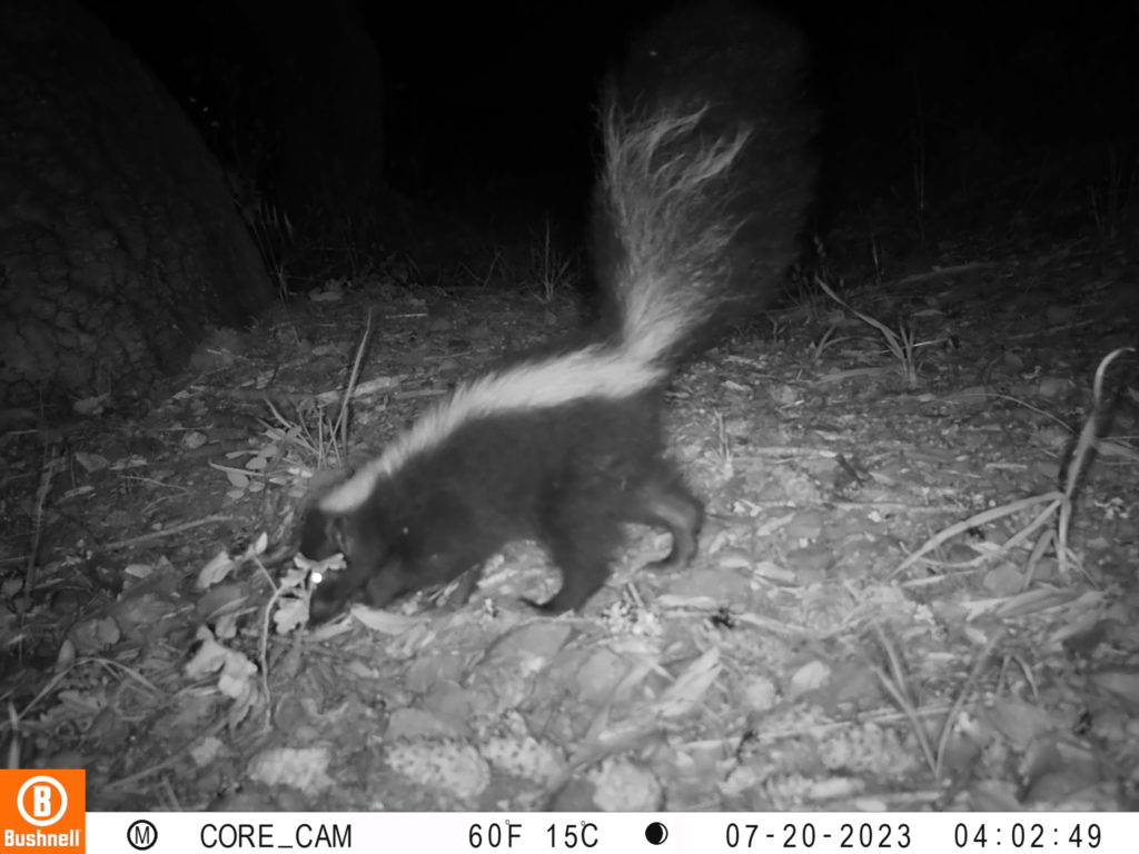
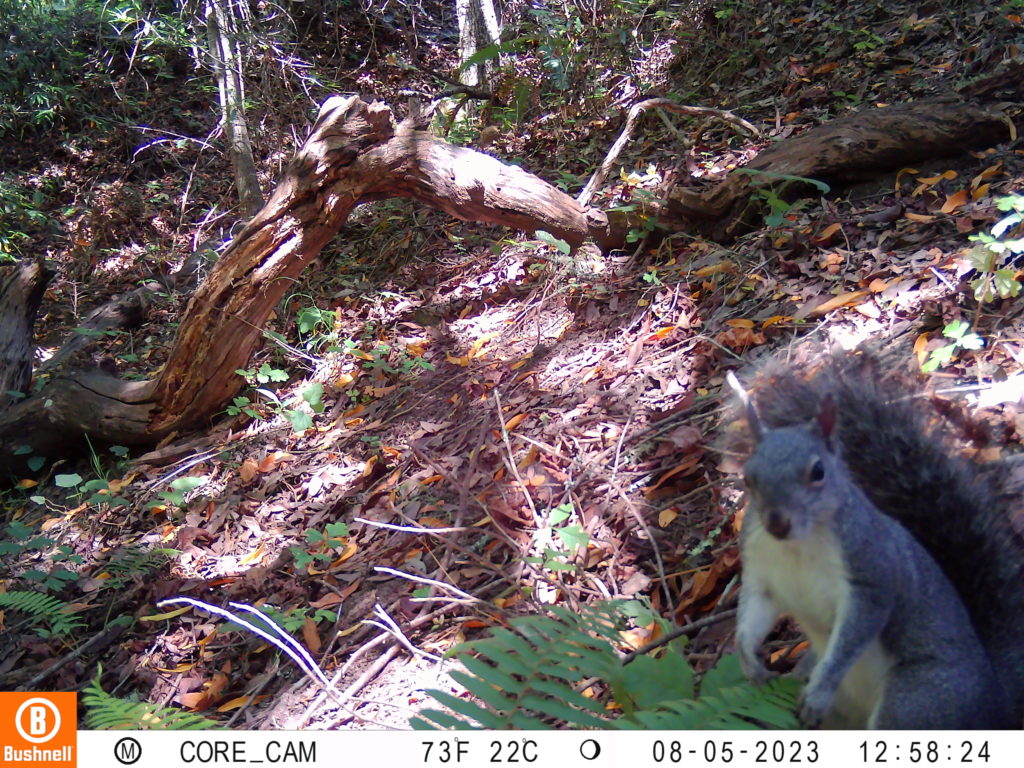
Wildlife Photos of Ocean Song/Myers Preserve
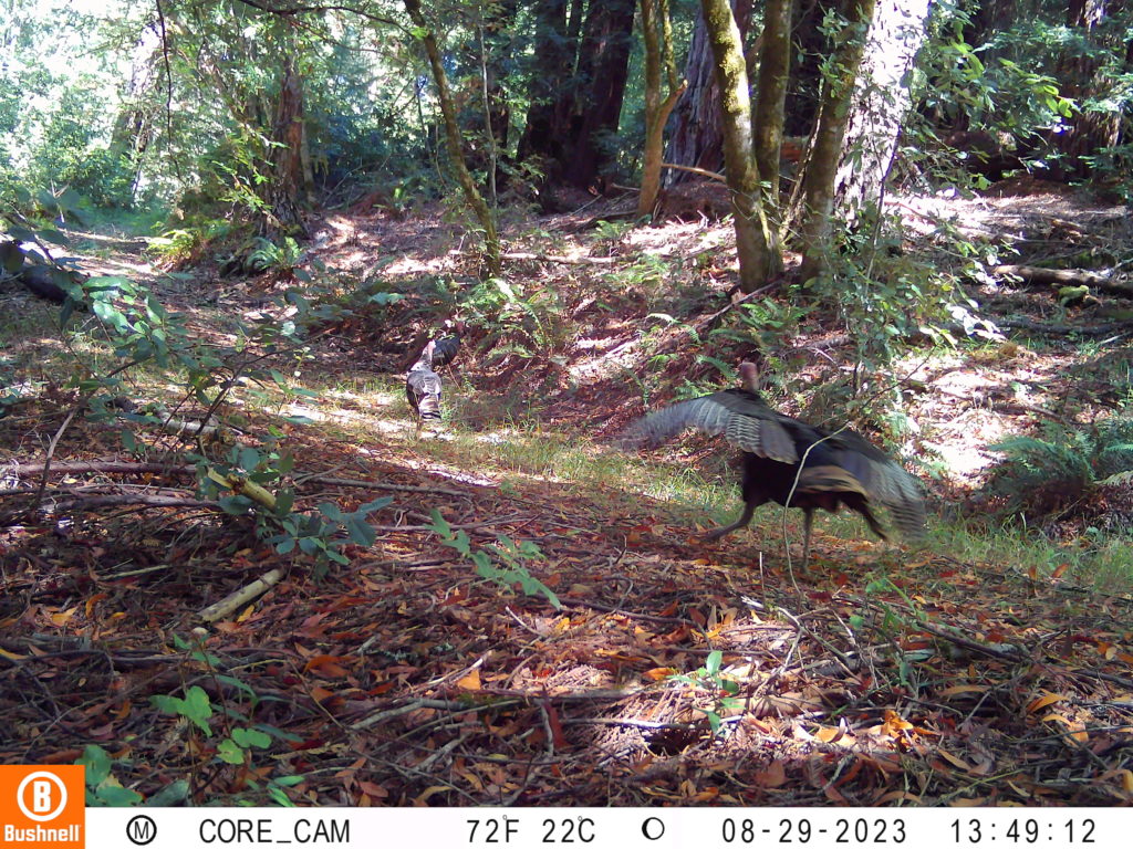
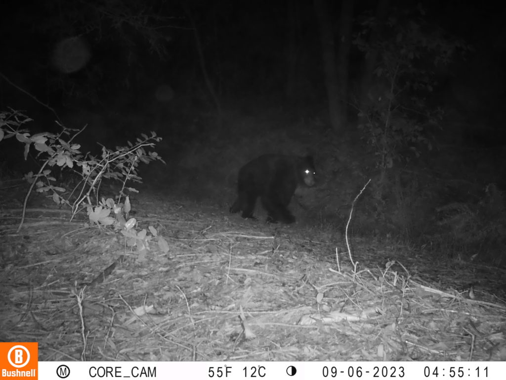
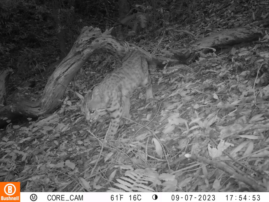
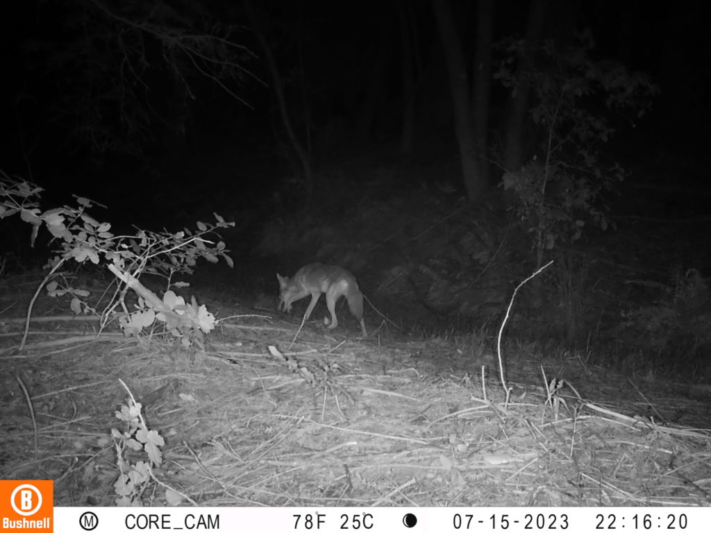
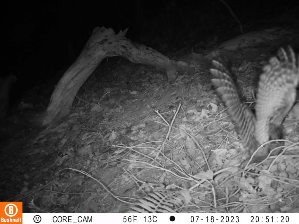
Wildlife Photos of Riddell Preserve
